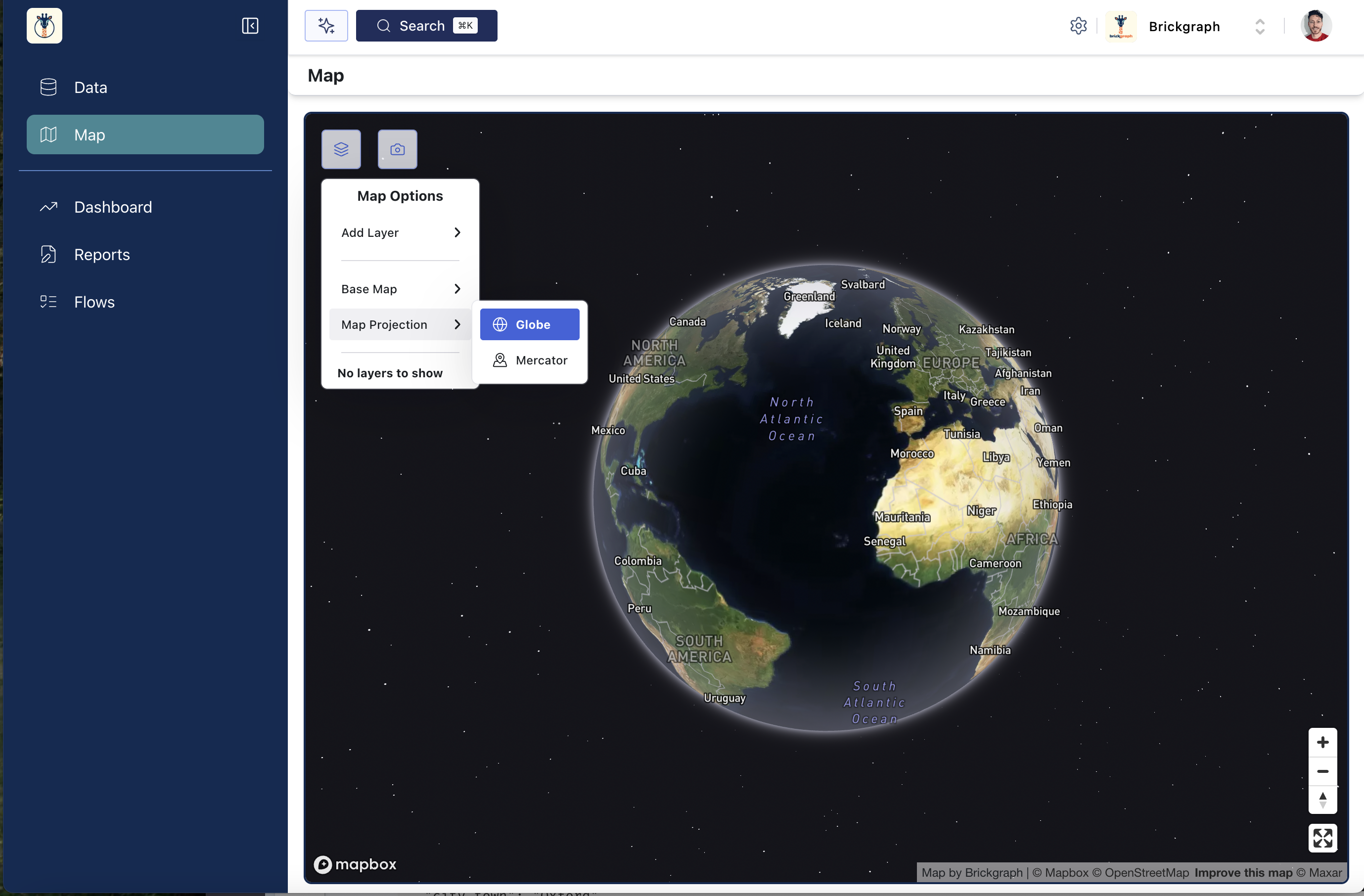
Styling the Brickgraph Map
You can access the map styling options by selecting the menu button in the top left corner of the map. There are two main ways to style the Brickgraph map;
Base Layer
Changing the Base Layer will update the styling of the entire underlying map. The default is the "Streets" style but there are several others, with more likely to be added in time. They are;
-
Streets (Default)
-
Outdoors (Highlights features such as parks, rivers, etc.)
-
Light (Minimal, greyscale style)
-
Dark (Minimal, high-contrast style)
-
Satellite (Earth imagery without any overlaid information such as streets, cities, etc.)
-
Satellite Streets (Earth imagery with boundaries and marker information overlaid)
-
Navigation Light (Minimal style that highlights transportation information such as highways, roads, etc.)
-
Navigation Dark (Dark style that highlights transportation information such as highways, roads, etc.)
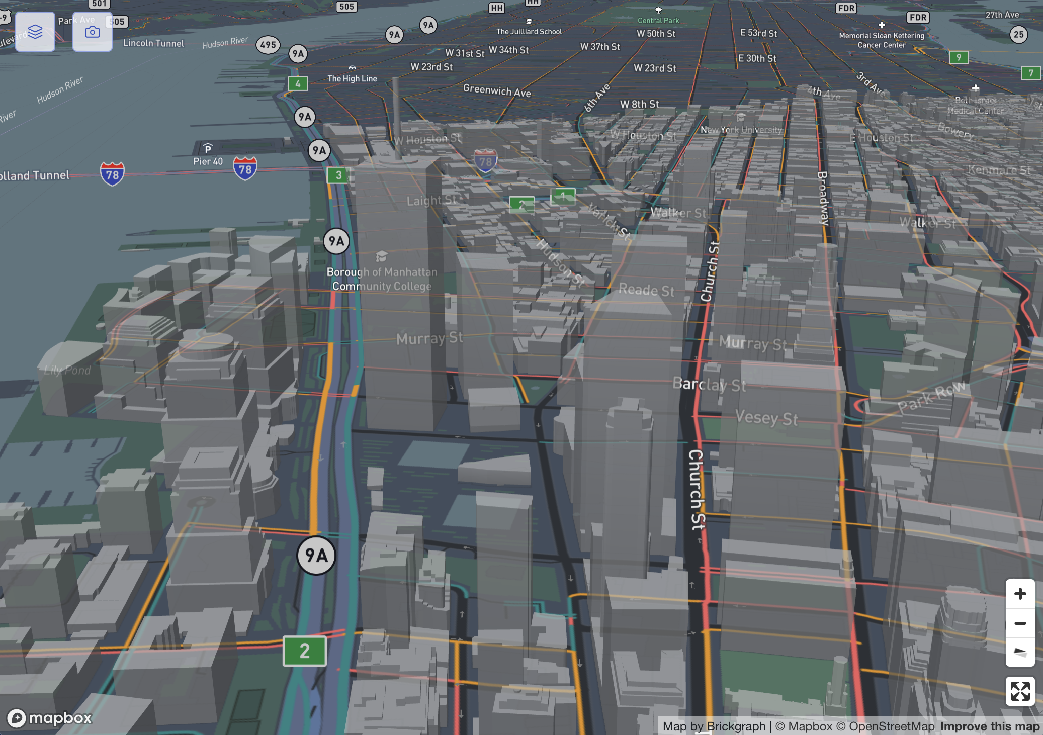
All layers also reveal 3D buildings when zoomed in close to street level.
Projection
Map projections indicate the manner of "laying" out the map - in order to visualise a globe on a flat surface there are many ways to do this. In Brickgraph, we simplify this by using the common Mercator projection for "flattening" the map.
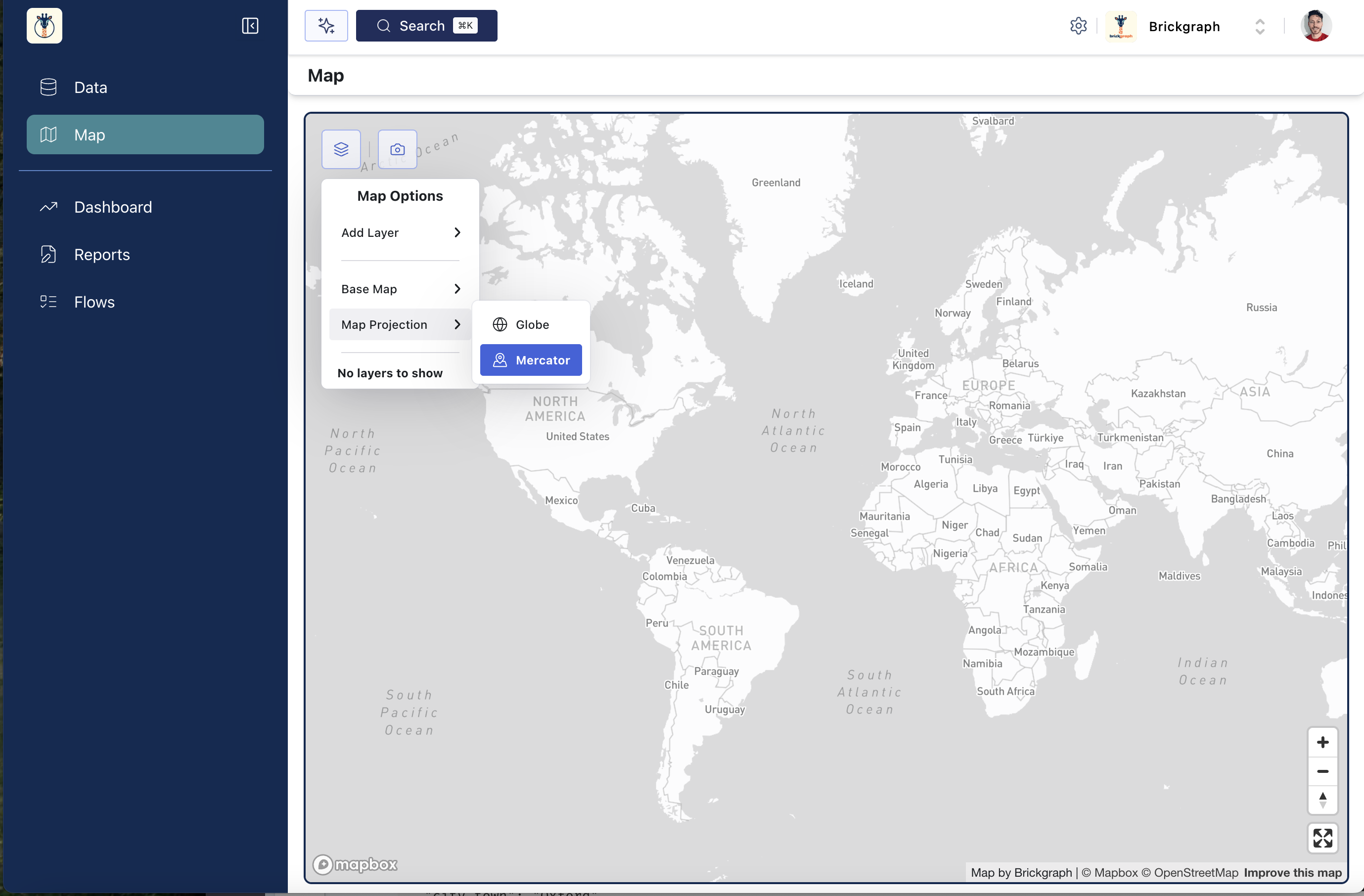
By default the map is in a Globe projection - which represents the map as a 3-Dimensional globe.